Blaundus Ancient City: Stone Ruins Above Uşak’s Deep Valleys
Explore Blaundus near Uşak, where a Hellenistic city’s gateway, ruins and rock-cut tombs occupy a dramatic plateau above steep valleys.
 Burak ÇınarTurkTravelRadar Founder
October 5, 2026
The landscape opens, and the ruins appear against the sky.
A stone gateway stands where people once entered the city. Beyond it, fragments of buildings rise from the ground, separated by stretches of grass and open space. Wind moves across the plateau. Underfoot, loose gravel makes you slow down.
Then you notice the valleys.
The land falls away around the settlement, revealing why anyone would have chosen this extraordinary place to build a city. At Blaundus, the setting is as memorable as the surviving stones.
Near Sülümenli village in Uşak’s Ulubey district, approximately 40 kilometres from Uşak city centre, the ancient settlement occupies a peninsula-like plateau surrounded on three sides by steep valleys.
A City Founded After Alexander’s Campaigns
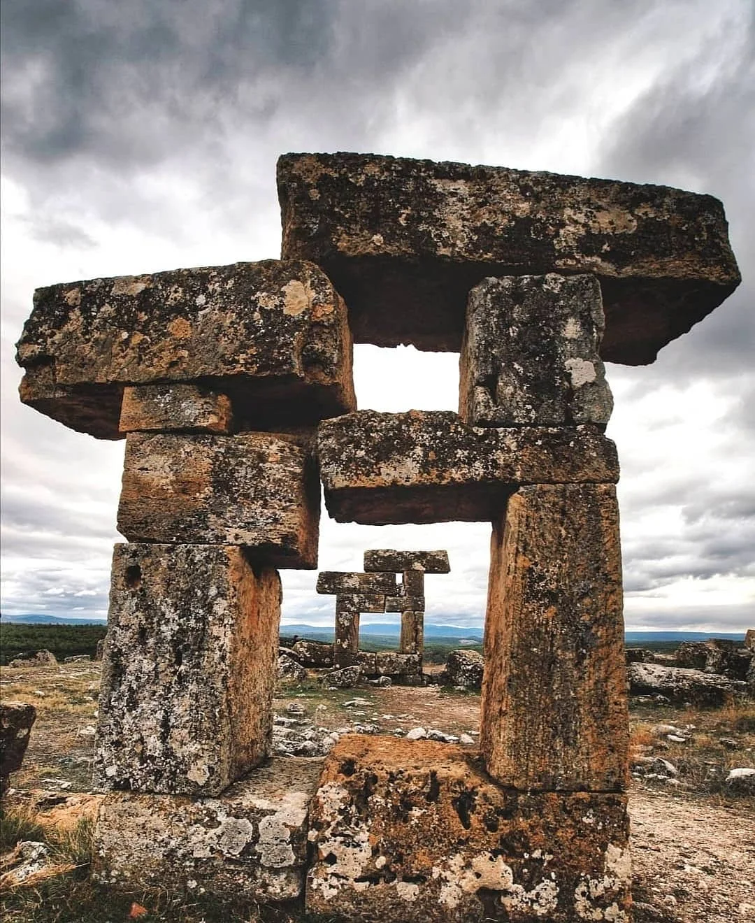
Blaundus—also written Blaundos—was established by Macedonian settlers in the third century BC, during the Hellenistic period following Alexander the Great’s campaigns in Anatolia. It stood in Lydia, close to the border with Phrygia, and later came under Pergamene and Roman rule.
That history becomes easier to imagine when you look at the terrain. The steep surroundings provided natural protection, concentrating the city’s principal entrance on its northern side.
Walk towards the surviving gateway and consider how much once passed through this narrow approach: people coming home, goods arriving, news carried from settlements beyond the valleys. Today, the same landscape helps you understand the city’s position without needing a complete reconstruction.
Look Beyond the Famous Silhouette
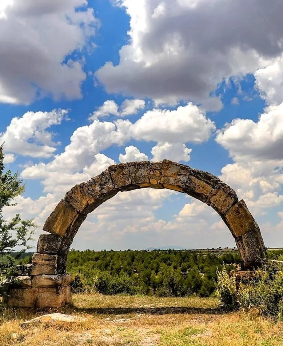
Blaundus rewards a slower visit. Its striking standing remains make compelling photographs, but the wider site reveals more than a single view.
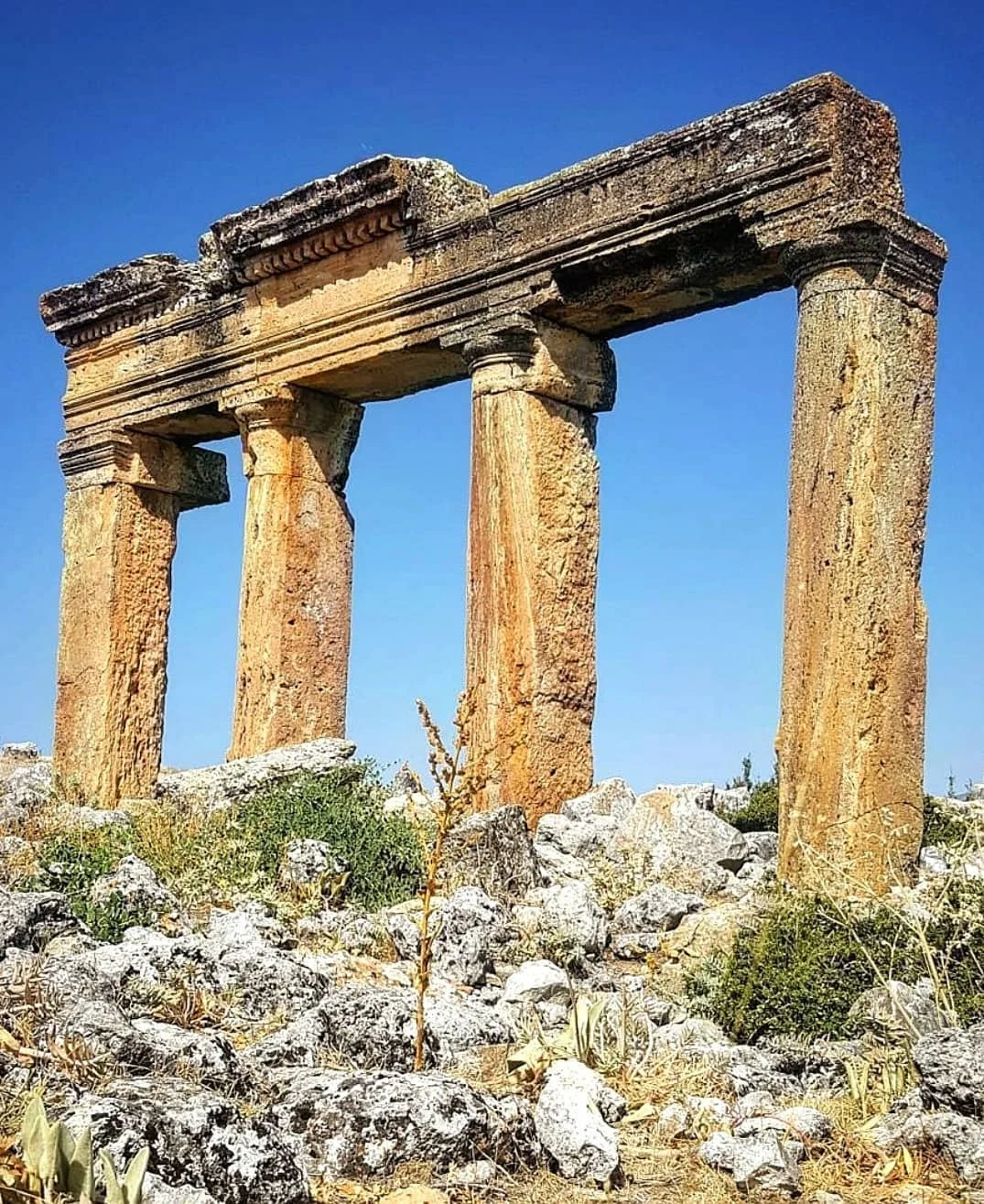
The archaeological remains include temples, a stadium, a theatre, fortifications and rock-cut tombs. Their condition varies considerably; expect fragments and traces of buildings rather than a fully preserved city.
Start with the entrance, then follow the permitted visitor route. Notice the differences between the stones: a shaped architectural block, a broken column section, the line of a wall emerging from the ground.
These details give scale to what is missing. A low foundation marks a space where people once gathered. A surviving upright suggests the height of a structure that has largely disappeared.
Pause occasionally and turn around. The relationship between the ruins and the valleys changes as you move, and a view that seemed unremarkable on arrival can become the most memorable one on the way back.
The Rock-Cut Tombs
The surrounding landscape also holds evidence of the city’s burial traditions. Rock-cut tombs include chambered interiors, with surviving plaster and painted animal and plant motifs recorded in some examples.
Their presence adds a more personal dimension to the settlement. Beyond its public buildings were families remembering their dead and decorating spaces intended to endure.
Access to tomb areas should be treated separately from a walk through the main ruins. Follow site instructions and barriers; do not assume that every chamber or slope is open to visitors.
Light, Wind and Photography
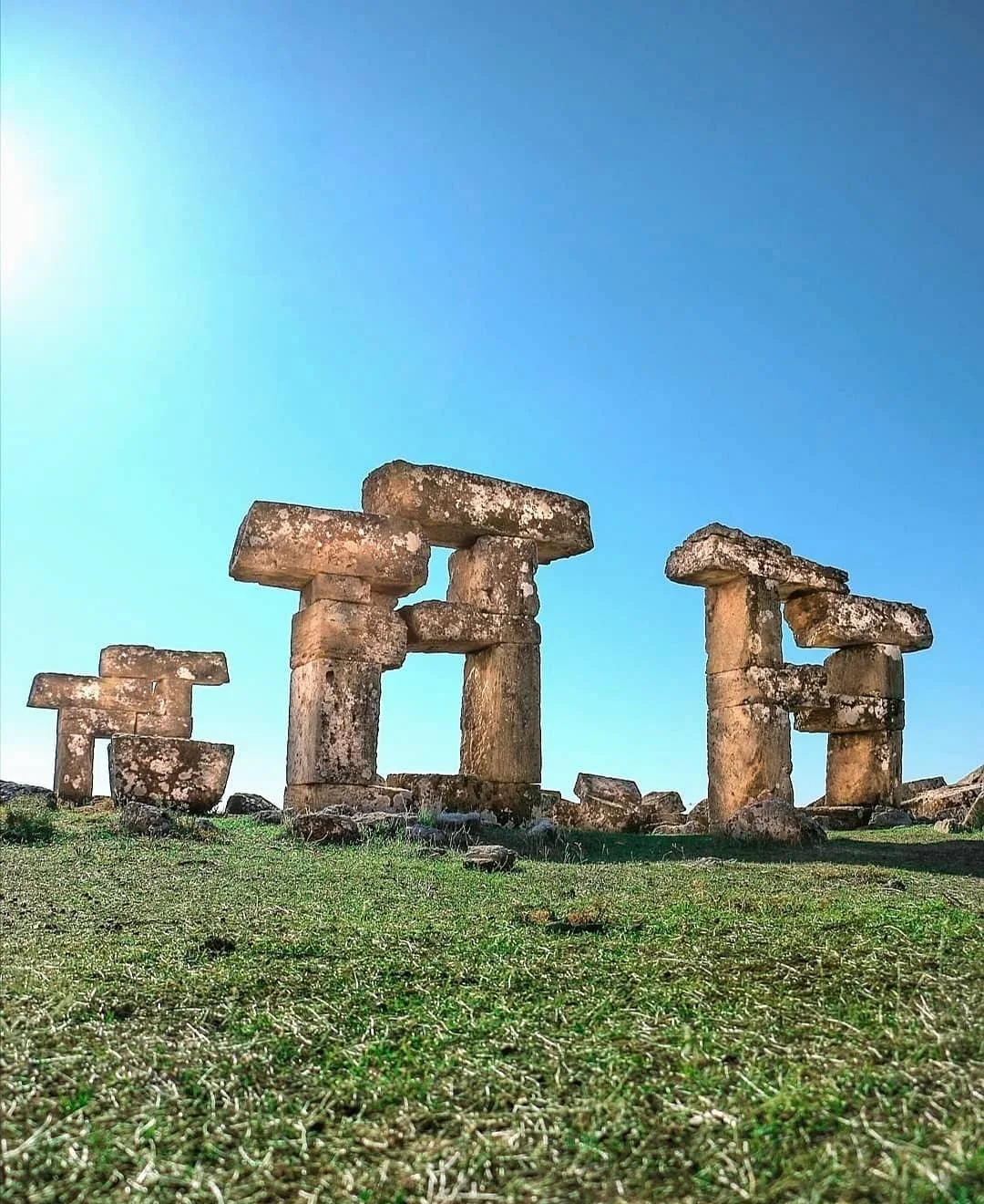
On a clear day, the exposed plateau makes the sky feel unusually large. Sunlight brings out the texture of the stone, while clouds can change the mood of the site within minutes.
Early or late daylight can give the ruins more definition, with shadows revealing edges that flatten under the midday sun. If you hope to photograph Blaundus near sunset, confirm access hours first and leave enough daylight for the return walk.
For a strong photograph, include some of the surrounding landscape. The standing stones draw the eye, but the valleys explain the place.
Stay on safe ground for the shot. There is no need to approach a cliff edge or climb a ruin to show how dramatic the setting is.
Planning Your Visit
Allow around one to two hours as a practical starting point for a relaxed walk and photographs. Your visit may be shorter or longer depending on the accessible areas and your interest in the remains.
A car or prearranged transfer is the simplest way to plan the journey from Uşak. Confirm your return arrangements before travelling, particularly if arriving by taxi.
Wear shoes with a good grip and bring water, sun protection and a layer for wind. The uneven archaeological ground can make walking difficult for visitors with limited mobility; check current access arrangements before setting out.
Excavation work led by Uşak Museum and Uşak University began in 2018. As archaeological work continues, visitor access may change, so confirm current opening hours, admission arrangements and accessible sections with the site or Uşak Museum.
Walking note — Physical effort: 2/5 for a gentle visit to the main ruins. Uneven footing, exposed weather and any additional slopes can increase the effort.
Blaundus at a Glance
| Detail | What to Know |
|---|---|
| Location | Near Sülümenli village, Ulubey district, Uşak |
| Distance from Uşak | Approximately 40 km |
| Origins | Hellenistic settlement founded by Macedonians in the third century BC |
| Setting | Plateau bordered by steep valleys on three sides |
| Main interest | Gateway, architectural ruins, stadium, theatre and rock-cut tombs |
| Suggested visit | Around 1–2 hours |
| Bring | Grippy shoes, water, sun protection and a wind layer |
| Before travelling | Confirm hours, admission and currently accessible areas |
💬 Comments (0)
Traveler comments are shown in their original language.
No comments yet. Be the first to share your experience.
💬 Want to join the discussion?
Log in or create an account to leave a comment.